360° VR - Behind The Scenes!
Follow the behind the scenes in the development of surf life saving’s new 360° VR beach safety experience.
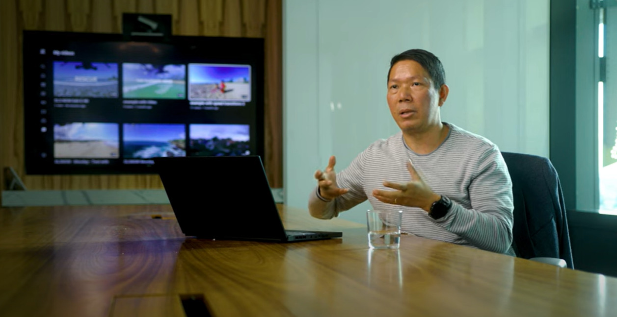
This video explores the different roles of people involved and follows the process of development from conceptual, through physical creation, practicalities and challenges involved with the creation of a new virtual reality experience of the coastline.

Meet our UAV pilots and learn from the creators and developers of this new and exciting experience as we talk through the technology and planning involved in creating this drone flight simulation.